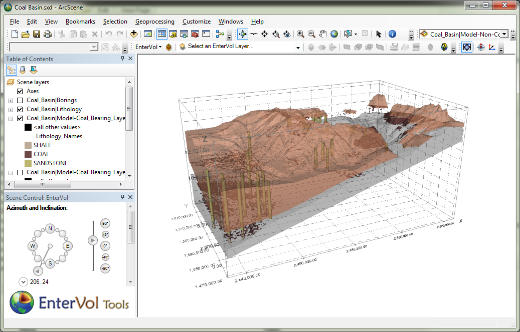
EnterVol Volume Analyst© is the analysis and visualization component of the EnterVol product suite. It provides a wide range of analysis and visualization tools to subset and quantify volumetric models saved in C Tech’s EVS Field Format (EFF).
Using EnterVol for ArcGIS as a true ArcGIS extension you can now:
- Perform volumetric analysis of model subsets such as:
- Plume volume and and analyte mass of soil contamination above a specified threshold
- Mass and monetary value of gold ore reserves in an ore body constrained by property boundaries and/or depth.
- Statistics including minimum, maximum, mean, median, standard deviation and histograms.
- Visualize subsets of your 3D volumetric models
- Cut through models with a user defined plane (X, Y, Z point plus dip and dip direction) outputting a portion of the model on either side of the plane. All data within the volumetric model will be retained in the volumetric subset.
- Slice through models with a user defined plane (X, Y, Z point plus dip and dip direction) outputting a 2D surface colored by any attribute since all data within the volumetric model will be mapped to the slice.
- Create Fence Diagrams through the model, which follow any number of arbitrary polylines.
- Compute Isolines displayed on the surface of a model which accurately follow the data at a sub-feature level.
- 3D Volumetric Plumes representing a 3D subset of your model based on any attribute. All data within the volumetric model will be retained in the volumetric subset.
- Isosurfaces are 3D surfaces that represent a constant value within a 3D volume. These surfaces can represent a depth below ground surface, a constant concentration within a volume or any other 2D subset of the volume. All data within the volumetric model will be mapped to the surface.

