Earth Sciences: Environmental Site Assessment
C Tech’s Earth Volumetric Studio provides the ability to perform Analytically Guided Site Assessment. We refer to this process as DrillGuide©.
DrillGuide© allows you to use the trends in your existing soil or groundwater contamination data to determine the optimal location for additional sampling. This is accomplished by focusing on those areas of your site using a proprietary C Tech algorithm where concentrations are predicted to be high, but simultaneously where the geostatistical confidence in that prediction is low.
With Earth Volumetric Studio, DrillGuide© allows you to determine when a site is adequately characterized when the statistical variation in the predicted plume area or volume is within acceptable limits.
DrillGuide© has been used by hundreds of government agencies and major consulting firms on thousands of projects to dramatically improve site assessment at the lowest possible cost. Whether projects are funded by the government of the private sector, the funds to perform environmental assessment and remediation are always in short supply. Spending those funds in the most cost effective manner will ensure a cleaner world.
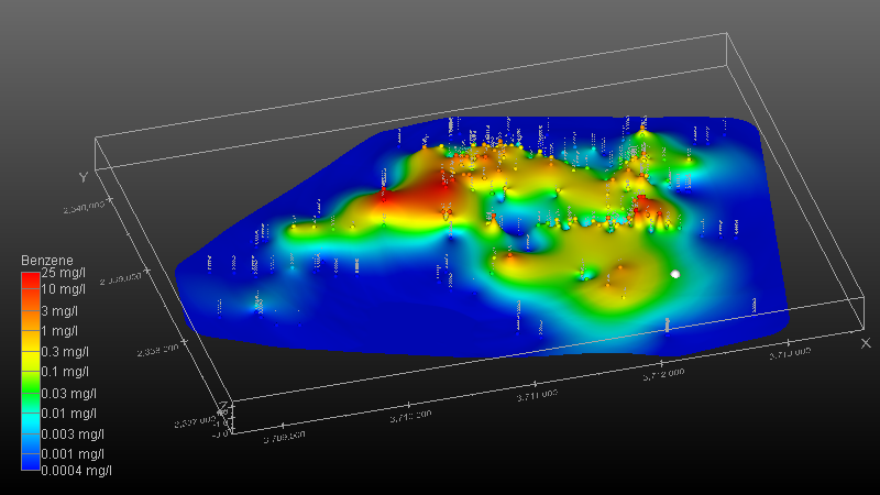
2D Kriging of groundwater data showing Benzene concentrations.
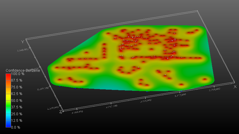
Same as above but displaying statistical confidence in Benzene estimate.
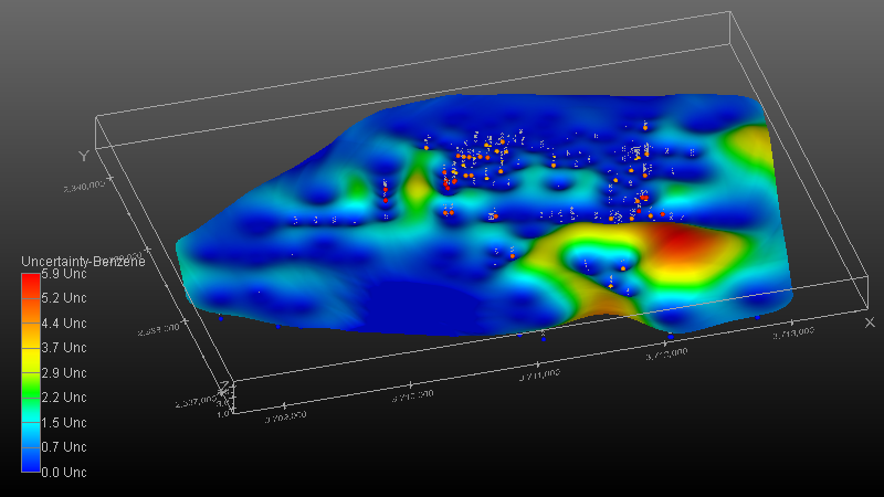
DrillGuide’s determination of highest Uncertainty is tagged with grey sphere. This location represents the location on this site most in need of additional sampling. It is a location with high predicted concentration, but low statistical confidence.
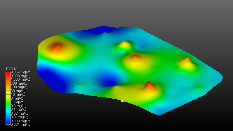
2D Kriging of soil data showing Total Hydrocarbon concentrations.
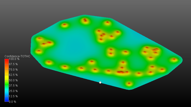
Same as above but displaying statistical confidence in TOTHC estimate.
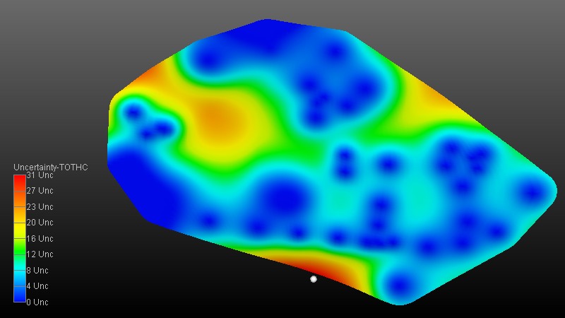
DrillGuide’s determination of highest Uncertainty is tagged with grey sphere.
